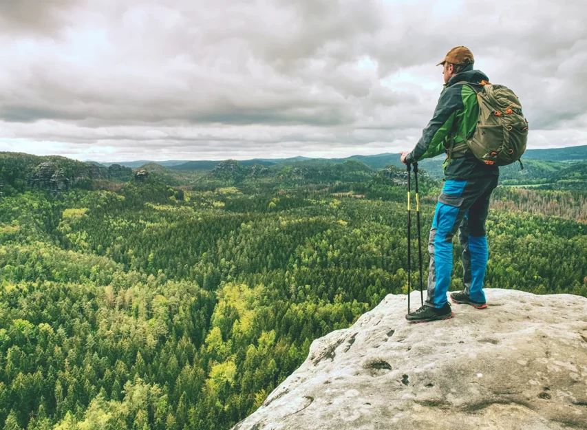
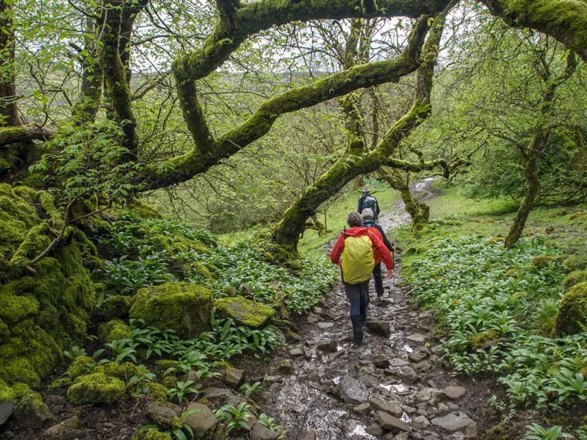
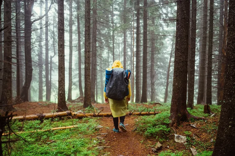
To most, a mountain is just an obstacle. A distant view, like a painting on a wall. But to hikers, mountains are our playground, our sanctuary.
Like a woodworker learning about trees, a hiking hobbyist should understand the parts of a mountain and its geology. Knowing what created the land beneath you provides a new appreciation for each step of a hike.
What are the parts of a mountain?
On your next hike, when you drive into a narrow valley to meet friends at the base, the trail you take to a snowline that leads up a ridge to the summit with spectacular views from the peak, will actually make sense.
Twenty-four percent of the earth’s surface is mountains. Even underwater, giant mountains cover the sea floor, their peaks creating islands. Thanks to extreme geological events over millions of years, we have thousands of trails to hike worldwide. And endless beautiful sites to see.

A top-down description of the parts of a mountain:
- Peak: The peak of a mountain is its highest pointed top.
- Summit: Highest measurable point on a mountain.
- Ridge: A long and narrow elevation of land
- Snowline: The dividing line of the snow-covered and snow-free part of a mountain. A snowline can adjust seasonally and is formed due to the warmer climate in lower elevations.
- Plateau: A high plain, predominantly flat with sharply raised sides surrounding.
- Slope, face, or side: The inclined surface of a mountainside
- Base: Where the mountain meets the flat or gently sloping ground.
- Valley: The low area between two mountains or hills. Often elongated with a river or stream running through it.
Summit vs. peak
A peak is a summit, but a summit is not always a peak. For example, the highest point of the flat capstone of a plateau is the summit. Without a point, it’s not a peak.
Mountain classification
Typically, a landform extending 1,000 feet or more above the surrounding area is considered a mountain — although there is no universally accepted standard.
But classes of mountains have been defined by the UN Environmental Programme. Classes range from 1 to 7, with class 1 mountains having the highest elevations.
- Class 1: elevation > 4,500 m (14,764 feet)
- Class 2: elevation 3,500 – 4,500 m (11,483 ft to 14,764 ft)
- Class 3: elevation 2,500 – 3,500 m (8,202 ft to 11,483 ft)
- Class 4: elevation 1,500 – 2,500 m (4,921 ft to 8,202) and slope ‡ 2°
- Class 5: elevation 1,000 – 1,500 m (3,281 ft to 4,921 ft) and slope ‡ 5° or local elevation range (7 km radius) > 300 m
- Class 6: elevation 300 – 1,000 m (984 ft to 3,281 ft) and local elevation range (7 km radius) > 300 m
- Class 7: isolated inner basins and plateaus less than 25 km2 in the extent that are surrounded by mountains but do not themselves meet criteria 1-6
Examples of popular mountains by class are:
- Class 1: Mount Everest 29,029 ft, Denali 20,308
- Class 2: Mount Whitney 14,505 ft, Mount Rainier 14,409 ft
- Class 3: Mount Etna 11,014, Glacier Peak 10,541 ft
- Class 4: Mount Baldy 7,192 ft, Mount Washington 6,289
- Class 5: Mount Juno 3,576 ft
How are mountains created?
Forming a mountain required immense force. Colliding land masses with help from volcanic lava formed the majority of mountains we see today. And many continue to grow in fractions of centimeters each year.
The three primary mountain types are volcanic, fold, and block. Plate tectonics — the movement of the earth’s crust — is responsible for all three.
The force of tectonic plates pushes the land masses together, akin to a crumbled hood of a car in a head-on collision.

In the Himalayas sits thirty of the world’s highest mountain ranges, including Mt. Everest, whose summit is the highest point on earth. The Himalayan mountain range was formed over 60 million years ago after the land mass we know as India today collided with EuroAsia.
Erosion shapes mountains
The mass of tectonic plates lifting and pressing created mountains, but erosion shaped mountains into the beauty we see today.
Over time, flooding, glaciers, and shifts in climate erode the face of mountains to their present-day look.
The layers of varying compressed layers chip away to be deposited across the base and valleys, laying the foundation for the trails we hike.
Geology to look for along a hiking trail
Have you ever spotted a huge rounded boulder that looks out of place? It’s likely a glacial erratic, the name for rocks and boulders transported during the last ice age.
So much of what we pass by on hikes has a unique geology story.


Glacial Erratic
Not all glacial erratic are large boulders. Glaciers often deposited smooth stones with the appearance of river rocks along the face of mountains and the valley floor.
Glacial Striations
Scratches along bedrock — the solid rock of the earth’s core beneath surface material — were caused by glaciers as they were pushed along slowly over time.
Granitic and quartz veins
A popular source of gold during the Alaskan gold rush, granite veins in rocks are created by cooling volcanic magma. Quartz veins are more common and caused by minerals deposited by water millions of years ago.
Final thoughts
Hopefully, understanding the parts of a mountain and the geological story behind so much of what we see on hikes makes for a more exciting experience.
Especially important for beginner hikers who struggle with the physical fitness of a hike, the beauty, and the history surrounding is the push needed to keep coming back.
Next time you traverse the face of a mountain on your way to the summit, take some time to look around. You might find a boulder carried hundreds of miles millions of years ago by an enormous river of ice.
Do geology and the parts of mountains interest you? Share this article with others so they can learn too.


